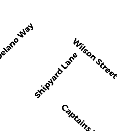
44 CAPTAINS LN
Owner Information
HARPER RONALD D
44 CAPTAINS LN
S DARTMOUTH, MA 02748


Property Details
44 CAPTAINS LN is classified as a Single Family Residential (Modern/contemp).
The primary structure on this property was built in 1974. There are 4,536ft2 of built area within this property. There is 2,006ft2 of residential/living space within this property. This property is listed as having 4 rooms.
44 CAPTAINS LN is valued at $924,100. The land is valued at $660,200 and the structures are valued at $261,100. There is an additional valuation of $2,800 on this property.
This property is in Zone GR. Confirm with local Zoning Board authorities to ensure there are no overlays or other easements on this property.
The most recent deed for 44 CAPTAINS LN is recorded at the local registrar in Book 0, Page 0. 44 CAPTAINS LN was last sold on Saturday, August 27, 2016 for $0.
Assessment data from fiscal year 2022.
Flood Data
This property is partially within the VE Zone (coastal flooding with wave action). Approximately 0.44 acres (100.0%) of the property is within this zone.
The base flood elevation for this flood zone is 18 feet.
This information is sourced from the FEMA National Flood Hazard Layer. See our full disclamer.
Broadband Internet Providers
| Provider | Type | Bandwidth (mbps) | |
|---|---|---|---|
| HughesNet | Satellite | 25 | 3 |
| VSAT Systems, LLC. | Satellite | 2 | 1 |
| T-Mobile | Fixed Wireless | 25 | 3 |
| GCI Communication Corp. | Satellite | 0 | 0 |
| Comcast | Cable | 1000 | 35 |
| Viasat Inc | Satellite | 35 | 3 |
| Verizon New England Inc. | DSL | 5 | 0 |
Broadband service provider data from December 2020.